As New Mexico focuses on promoting outdoor recreation, Bloomfield works to map trails
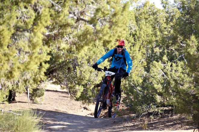
BLOOMFIELD — A trail from Lybertee Park in Bloomfield connects to Aztec and includes a spur to Crouch Mesa. From Aztec, a trail behind C.V. Koogler Middle School can connect mountain bicyclists to Lake Farmington, or to the trails used in the Road Apple Rally mountain bike race.
These were among the trails that mountain bicyclists highlighted during a meeting Nov. 18 at the Bloomfield Multi-Cultural Center.
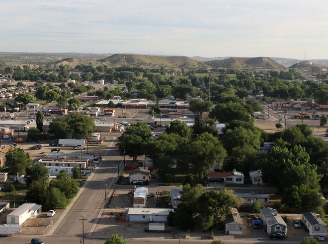
The City of Bloomfield is surrounded by public lands dotted with trails, but often only locals know how to find those trails.
“All this stuff is connected, we just need to connect the dots,” said City Manager George Duncan.

The meeting served as a kick off to the city’s efforts to map trails and promote outdoor recreation in the area. Many of the trails highlighted do not appear on popular crowd-sourced apps like Mountain Bike Project. Tourists can use these apps to find trails to ride or hike while visiting.
“I think we need to tie the three communities together with trails and get (the trails) marked and designated and cleaned,” Duncan said.
Duncan and others in the meeting envisioned trail signs at intersections and trailheads, including a trailhead sign letting users know who yields to whom, and markers delineating the trail’s difficulty level.

At one point, people in the meeting highlighted Phil’s World — a series of mountain bike trails outside of Cortez, Colorado, — as an example of a well-marked trail system.
They said the signs also need to show the direction that trail users should travel, something they said is lacking at popular Farmington mountain bike trails like the Kinsey Trail.
At the start, there was some discussion of new trails that could be built, including connecting the walking path along the San Juan River with Lybertee Park. But, for the most part, the city is focused on finding existing trails.

Once the trails are mapped, the city can work on needed infrastructure, including signage and parking, as well as marketing.
People can help the city map the trails by adding them on crowd-sourced apps like Mountain Bike Project or by emailing donicasharpe55@gmail.com. There will also be future meetings to continue gathering community input about popular trails.
“There’s plenty out there that you can ride already,” said Chris Martinez, a member of Aztec Trails and Open Spaces. “You can ride all day and not hit the same trail.”
Hannah Grover covers government for The Daily Times. She can be reached at 505-564-4652 or via email at hgrover@daily-times.com.
Support local journalism with a digital subscription: http://bit.ly/2I6TU0e